Download Product Ebook
 View all our solutions
 Sky-Walker Architecture
 View all our integrations
 Book Protocol workshop
 Our Company
 Contact Us
 View All Our Case Studies
 Become a PSIM Partner
 Become a Sky-Walker PSIM partner today!
 English
 Français
 Nederlands
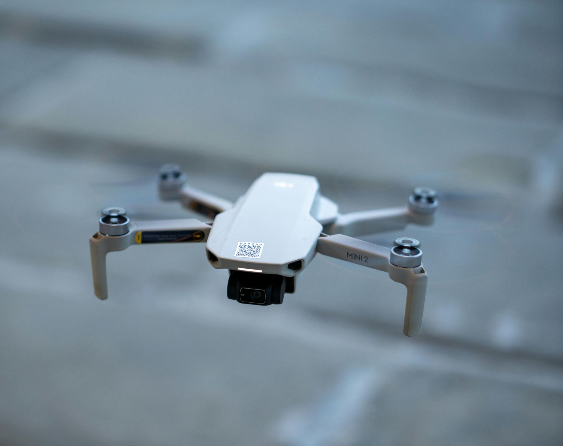
Real-time drone streaming in Sky-Walker 4
Sky-Walker 4 & DJI 4 Mini PRO
Sky-Walker is currently exploring how drone video could be integrated into the platform, and we’ve entered a testing phase designed to better understand what’s technically possible. This includes evaluating how unmanned aerial systems—such as the DJI Mini 4 Pro—can be connected through our IP-Matrix driver and how reliably live video can be streamed into Sky-Walker during controlled tests.
At this stage, the goal isn’t to deliver a production-ready feature, but to experiment, gather insights, and see how such integrations might support future workflows. These tests help us assess connection stability, integration behavior, and how operators could benefit from having drone video available alongside existing tools in Sky-Walker.
Drones have already reshaped the way industries capture information, respond to incidents, and monitor large or complex environments. Sky-Walker aims to build on this foundation by creating a software environment that acts as an intelligent coordination layer between operators and their aerial assets. During testing, Sky-Walker is being connected to a drone to assess compatibility, responsiveness, and data integration. Through this process, operators can monitor live video feed all from a single, streamlined interface.
Even at this early stage, Sky-Walker enables us to experiment with live drone feeds, providing an elevated perspective of construction areas, natural landscapes, or controlled indoor environments. This helps us refine how video, telemetry, and sensor data are captured and displayed.
Current Limitations
Working with DJI aircraft such as the Mini 4 Pro for real-time GIS data collection and autonomous flight tasks is entirely possible today — but only through the DJI Mobile SDK. While the SDK gives access to live aircraft coordinates and programmatic flight control, there are important limitations when your development environment is .NET / C#. These limitations affect maintainability, platform support, and the long-term stability of your solution.
1. No Native .NET Support
The DJI Mobile SDK only supports Android (Java/Kotlin) and iOS (Objective-C/Swift).
There is no official .NET / C# SDK, which means you cannot use DJI features directly from a .NET application.
2. Requires a Custom Binding
To use the SDK inside a .NET app, you must create your own:
- Xamarin / .NET MAUI binding, or
- Small native wrapper (Java/Objective-C) that your C# code talks to.
This works, but it’s extra effort and becomes harder to maintain over time.
3. Updates Can Break Your Binding
DJI frequently updates their Mobile SDK. Since you are building your own wrapper, every SDK update or firmware change can require fixes on your end. This adds ongoing maintenance.
4. Extra Complexity for GIS and Navigation
The SDK can stream realtime coordinates and send “go to” commands, but you must also manage:
- Connection stability
- Safety features (obstacle avoidance, geofencing)
- Platform differences between iOS and Android
These behaviors can affect how consistently autonomous navigation works.
5. Few Community Options
Existing .NET bindings are outdated or incomplete, so you should plan on maintaining your own integration long-term.
To demonstrate this progress, you can watch one of our test drones flying inside our office in the video below, showcasing real-time control and live-feed capabilities.
How Sky-Walker streams drone video in Real-time
The image below illustrates the current test setup we use to bring live drone video into Sky-Walker. Because we are still in the testing phase of drone integration, this workflow allows us to evaluate video stability, latency, and compatibility before expanding to more advanced features.
The process works in three simple steps:
Drone Camera & DJI Controller
The drone captures live video, which is transmitted through the DJI controller. The controller sends the video stream using
RTMP over Wi-Fi, allowing the feed to be relayed to a local server.
Windows PC Running the Mona Server
The video stream is received by a Windows PC that hosts the
Mona server, which acts as a gateway for handling and converting the incoming RTMP feed. The server then forwards the stream using
RTMP over LAN to ensure stable delivery within the internal network.
Sky-Walker RTSP Plug-In
Finally, the Sky-Walker platform accesses the feed through its
RTSP plug-in, which converts the stream into a format that Sky-Walker can display. This allows operators to view the drone’s video in real time directly inside the platform.
This setup provides a reliable way to test live streaming from drones into Sky-Walker and helps us refine the performance of future drone integrations.

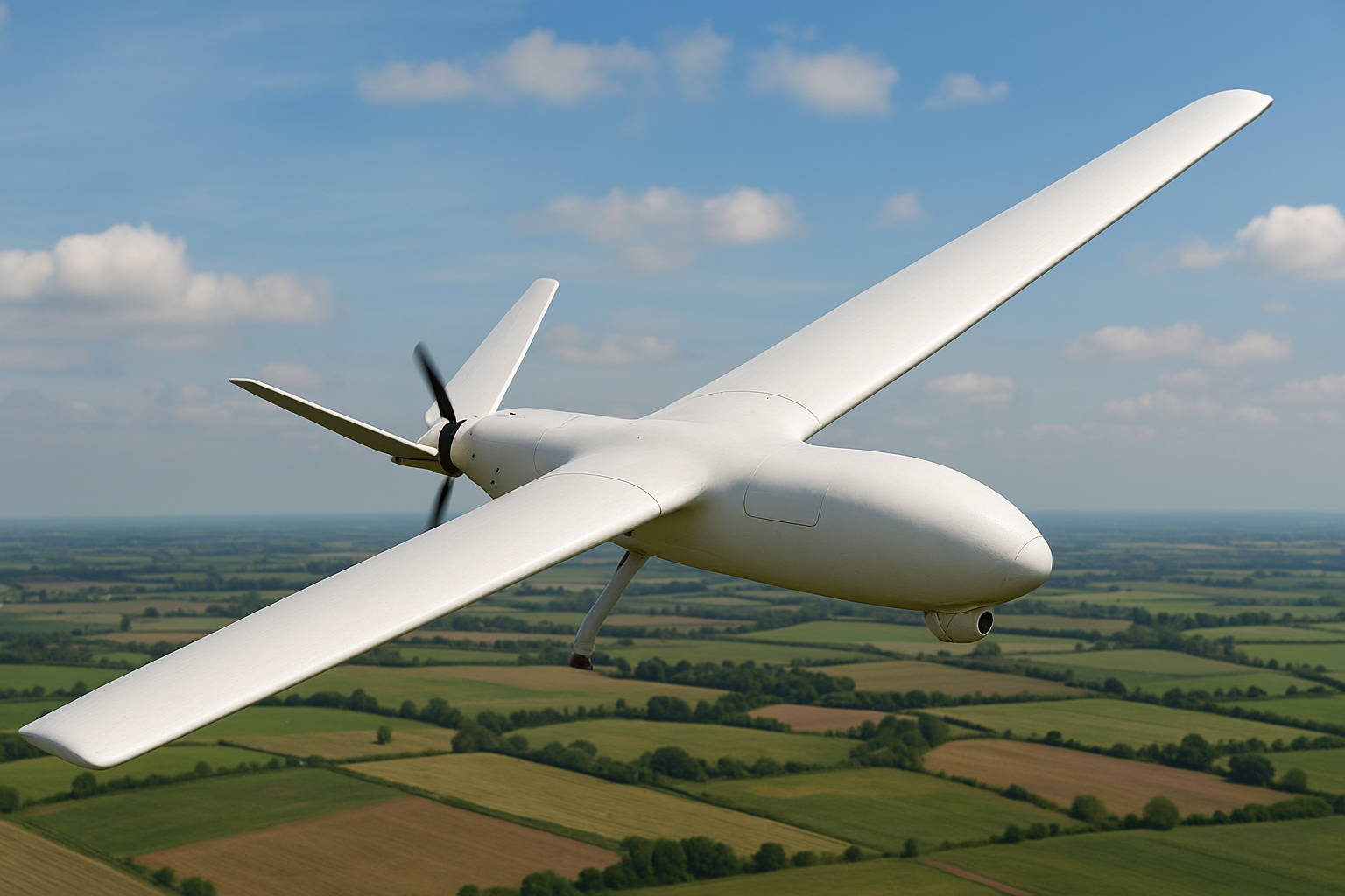
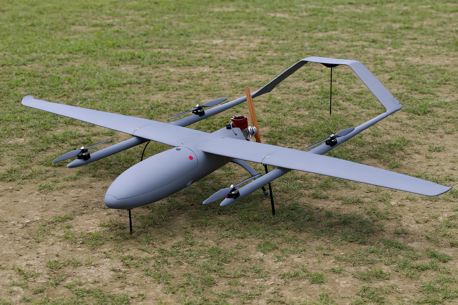
Drone types
Drones come in a variety of shapes and capabilities, each tailored to specific tasks and environments. From compact multi-rotor models ideal for precise aerial work to long-endurance fixed-wing designs built for covering vast areas, understanding the different types of drones is key to selecting the right platform for any mission. Some models, like single-rotor drones, excel at carrying heavy payloads, while hybrid VTOL designs combine the benefits of hovering and long-distance flight. In this section, we’ll explore the main categories of drones, their unique strengths, and the applications where they shine
Usages
🌾Agriculture: Drones help farmers monitor crop health, analyze soil conditions, and manage irrigation more efficiently. Equipped with sensors and cameras, they can identify stressed plants early and even spray fertilizers or pesticides with precision, saving time and reducing waste.
🏗️Construction: teams use drones for site surveying, mapping, and progress tracking. Aerial imagery provides accurate data for planning and helps identify issues before they become costly and problematic. Drones also enhance worker safety by inspecting hard-to-reach areas, such as roofs or high structures.
🚓Public Safety: Emergency services rely on drones for search and rescue, disaster assessment, and firefighting support. They provide real-time aerial views during critical situations, helping crews locate missing people, monitor hazardous areas, and make faster, safer decisions.
📦Logistics & delivery: Drones are being tested to transport packages, groceries, and even medical supplies. They offer fast delivery times, reduce road congestion, and can reach remote or difficult locations, making them especially valuable for emergency medical needs.
⚡Energy & Utilities: Drones inspect power lines, wind turbines, solar farms, and pipelines with high accuracy. They reduce downtime, avoid dangerous manual inspections, and capture detailed images that help teams identify issues early and plan maintenance efficiently.
🌍Environmental Protection: Conservation teams use drones to track wildlife populations, monitor forests, and detect illegal activities like poaching or deforestation. Their ability to cover large areas quickly makes them a powerful tool for protecting ecosystems and supporting climate research.
🎬Media & Entertainment: Aerial drones have transformed filmmaking, photography, and live event coverage. They capture dynamic shots that once required helicopters, at a fraction of the cost and opening new creative possibilities for content creators and production teams.
🚑Healthcare: In remote or disaster-hit areas, drones deliver essential medical supplies such as vaccines, blood, and medication. Their ability to fly over blocked roads or rough terrain ensures communities get critical help quickly.
Drones in the media
Check out this insane drone flight, a quadcopter reportedly hit 576 km/h, breaking speed barriers like never before. Watch the video below to see how precision engineering and raw power combine for a record-setting run.
Future of drones
The future of drones is driven by advances in autonomy, sensing, and airspace integration. AI-enabled navigation, computer vision, and SLAM (Simultaneous Localization and Mapping) will allow drones to operate with minimal human oversight, even in dense, obstacle-rich environments. Improved endurance, hybrid propulsion, and higher payload capacity will expand applications in logistics, inspections, and environmental monitoring.
Platforms like Sky-Walker represent this next phase: combining long-range capability with intelligent flight control to support BVLOS operations and data-driven missions. As drones connect to IoT networks and cloud systems, they’ll enable automated inspection workflows, smart-city monitoring, and rapid delivery routes.
Progress in U-space/UTM systems and BVLOS regulation will be essential. Once these frameworks mature, drones, including advanced platforms like Sky-Walker, will shift from specialized tools to core infrastructure in industrial automation, resilient logistics, and urban mobility.
Conclusion
Drones are rapidly evolving from niche tools into essential assets across multiple sectors, offering new levels of efficiency, safety, and insight. As industries adopt more advanced platforms, the ability to manage and coordinate these systems becomes critical. Sky-Walker brings all of this together by providing a unified, intelligent interface that connects drones, automates missions, and streamlines decision-making. With technologies like AI navigation, real-time data integration, and multi-drone coordination, the future of unmanned operations is not just promising, it’s already taking shape. As regulations mature and digital infrastructure expands, solutions like Sky-Walker will play a central role in unlocking the full potential of drone technology.

Want to see Sky-Walker in action?