Download Product Ebook
 View all our solutions
 Sky-Walker Architecture
 View all our integrations
 Book Protocol workshop
 Our Company
 Contact Us
 View All Our Case Studies
 Become a PSIM Partner
 Become a Sky-Walker PSIM partner today!
 English
 Français
 Nederlands
Beyond the Floor Plan: How GIS Integration Transforms Security for Industrial Facilities

The Complex Landscape of Industrial Security
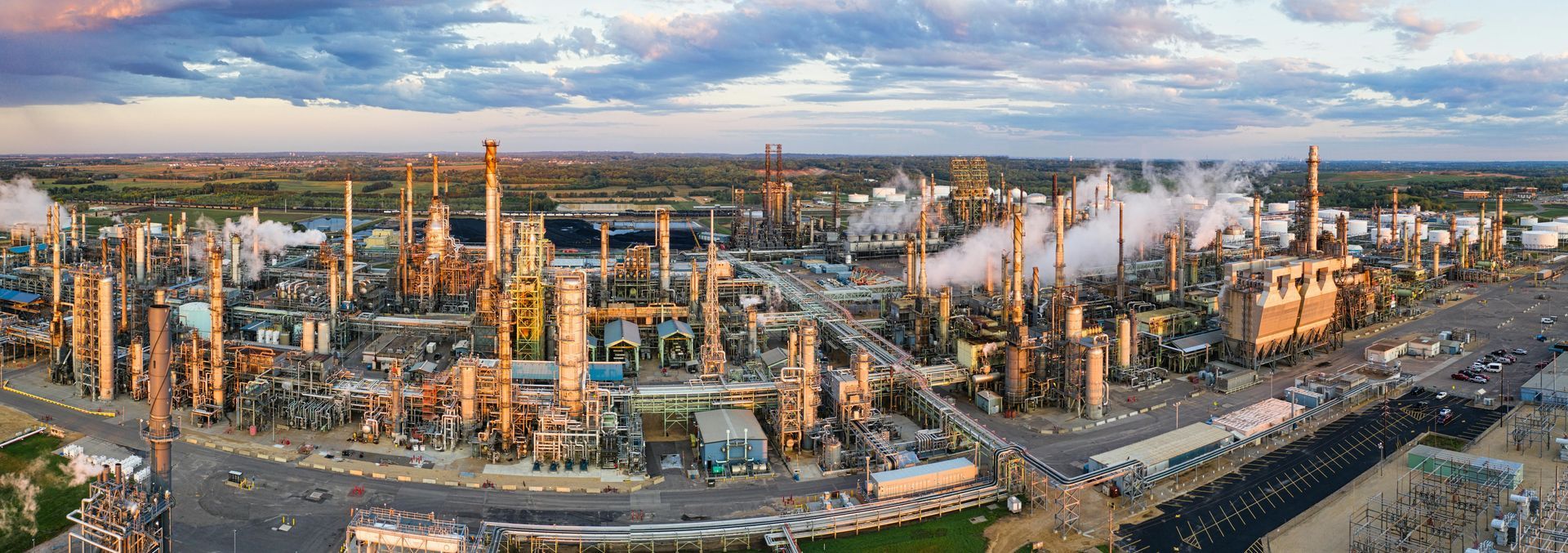
Industrial facilities, from manufacturing plants and energy complexes to chemical processing sites and logistics hubs, present unique and complex security and safety challenges. These environments often span vast areas, feature geographically dispersed assets, and involve specialized equipment or hazardous materials. Traditional security approaches, relying on isolated systems and static floor plans, often fall short in providing the real-time, comprehensive situational awareness needed for effective management and rapid response.
Industrial facility managers frequently grapple with a fragmented view of their security and safety infrastructure. Alarms from disparate systems – CCTV, access control, fire detection, perimeter intrusion – may trigger in different locations, requiring operators to manually piece together information from multiple screens. This can lead to critical delays in understanding the full scope of an incident, dispatching the right personnel, and coordinating an effective response across a sprawling site. The challenge intensifies when mobile teams need precise location data for incident verification or intervention.
Bridging the Gap with GIS Integration in PSIM
Geographical Information Systems (GIS) provide a powerful solution by adding a crucial layer of spatial intelligence to security and safety operations. When integrated with a Physical Security Information Management ( PSIM software) platform, GIS transforms raw data into actionable, location-aware insights. A PSIM platform centralizes data from all connected security, safety, and operational systems, presenting it in a unified interface. Adding GIS capabilities means this data is not just displayed; it's visualized within its precise geographical context on a dynamic map.
This integration moves beyond simple building floor plans to offer a comprehensive, real-world map view of an entire industrial site, or even multiple sites. Operators can see the exact location of an alarm, a camera, an access point, or a responding team member, all overlaid on a detailed map. This immediately provides the spatial context vital for rapid assessment and decision-making within a busy control room.
Key Benefits for Industrial Facilities
Integrating GIS with your PSIM platform delivers several critical advantages for industrial facilities:
Enhanced Situational Awareness and Visualization
With GIS integration, operators gain an immediate, panoramic view of the entire industrial campus. Rather than deciphering text-based alerts, they can instantly pinpoint the exact location of an event on a live map. This visual context includes geographical features, infrastructure layouts, and the precise placement of security devices. Real-time overlays of camera feeds, sensor data, and personnel locations allow for a far richer understanding of unfolding situations, enabling operators to make informed decisions faster.
Faster, More Coordinated Incident Response
When an incident occurs, time is of the essence. GIS integration significantly reduces response times by providing clear, visual guidance. Operators can quickly identify the shortest or safest routes for responders, direct mobile security teams with precision, and coordinate actions more effectively with emergency services. Knowing the exact location of an alarm, coupled with the ability to visualize nearby assets or potential hazards, empowers security teams to initiate targeted and efficient incident management protocols.
Improved Safety and Compliance Management
Industrial sites often involve hazardous zones, complex emergency egress routes, and strict regulatory compliance requirements. GIS allows for the clear visualization of these critical safety elements on a map. Operators can quickly identify and direct personnel away from danger zones, locate safety equipment, and guide first responders to emergency assembly points. This spatial awareness is invaluable for managing evacuations, containing spills, or responding to fire alarms, ultimately improving overall safety for personnel and protecting valuable assets.
Optimized Operational Efficiency
Beyond security and safety, GIS integration can boost general operational efficiency. Facility managers can track the movement of vehicles, equipment, and even maintenance teams across the site. This real-time asset tracking can optimize logistics, streamline maintenance schedules, and provide valuable data for operational analysis. By centralizing this information within the PSIM, it fosters better collaboration between security, safety, and operational departments.
Sky-Walker: Your Foundation for GIS-Enabled Industrial Security
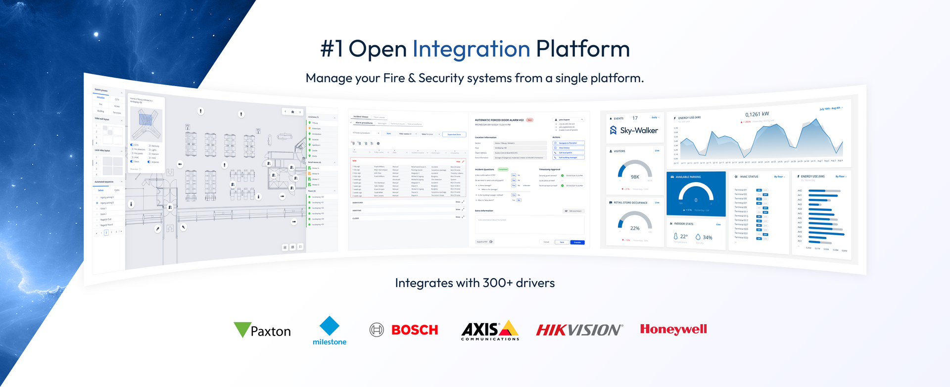
Entelec's Sky-Walker Open Integration Platform is engineered to address the complexities of modern industrial security environments. As a powerful PSIM software solution, Sky-Walker can integrate over 300 existing security and safety drivers, including CCTV, access control, fire detection, and building management systems. Crucially, Sky-Walker offers robust GIS map integration, allowing industrial facility managers to overlay their entire security and safety infrastructure onto detailed geographical maps.
This means that when an alarm triggers, Sky-Walker not only presents the event in the centralized interface but also visually represents it on the GIS map with configurable priority colors. Mobile teams can use this same geographical context to navigate to incidents, verify situations, and report back in real-time. By providing a unified, location-aware view of all systems, Sky-Walker empowers industrial facilities to move from reactive monitoring to a proactive, highly coordinated approach to security operations.
Implement GIS for Enhanced Industrial Resilience
For industrial facility managers looking to enhance situational awareness, streamline incident response, and optimize operational efficiency across their expansive and complex sites, GIS integration within a robust PSIM platform is a game-changer. It transforms a fragmented view into a cohesive, intelligent operational picture, allowing for more confident decisions and faster, more effective actions.
Ready to See Your Industrial Site in a New Light?
Discover how Sky-Walker's GIS integration can revolutionize your industrial security and safety operations. Request a live demo today to see our platform in action and discuss your specific facility's needs with our experts.
Other blog posts